

GPS was turned into a ballistic missile launch detector
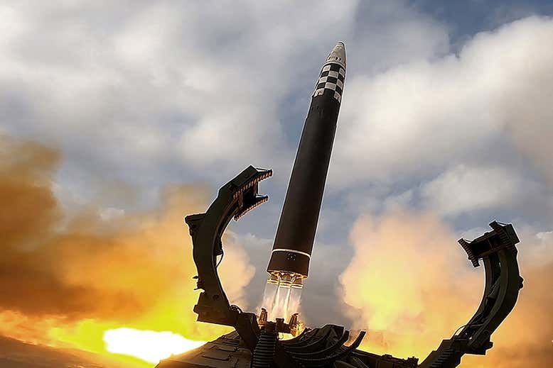
Enthusiasts have created an open-source intelligence project that uses GPS satellites to track intercontinental ballistic missile launches. They demonstrated their groundbreaking work last week, when researchers identified atmospheric disturbances caused by North Korea’s largest intercontinental ballistic missile test.
The researchers posted an animation demonstrating their discovery on Twitter. Volunteers developed computer software to detect disturbances in the Earth’s atmosphere by measuring signals from global navigation satellites transmitted between the satellites and ground stations.
“It would be great if it was a truly global network,” says Tyler Nyswander of Theori, a Texas-based cybersecurity company.
The idea of actively tracking missile launches through disturbances in the ionosphere – the part of the upper atmosphere filled with charged particles – originated with Jeffrey Lewis of the James Martin Center for Nonproliferation Research in California. He then asked for help from the online intelligence community, which seeks to make better use of publicly available information for intelligence purposes.
Nighswander and Michael Nute of Rice University in Texas accepted the challenge. First, they needed to find a global navigation satellite system – in this case Japan’s GEONET system – that would publicly transmit data at least hourly.
The GEONET network of ground stations includes more than 1,300 government-owned stations and 3,000 stations operated by Japanese multinational Softbank, said Kosuke Heki, a former fellow at Hokkaido University in Japan who was not involved in the project.
Next, the researchers created computer software to detect changes in the ionosphere. They built on decades of previous research by Hecki and others that showed how rocket launches can affect the ionosphere—water vapor in rocket exhaust interacts with charged particles in the ionosphere, while the corresponding acoustic shock waves can jostle the particles.
The total number of charged particles can affect radio signals, with different frequencies of the signals traveling at different speeds. By measuring the precise delay between satellite signals at two different frequencies, the number of charged particles can be measured and changes over time detected.
Researchers have developed algorithms to detect these changes. The false alarm detection rate is “fairly low” because a large ballistic missile looks different from natural ionospheric phenomena. But the method can still miss short- and medium-range ballistic missiles with shorter trajectories that don’t leave a similar trail in the ionosphere, Nyswonder says.
The result is a system that can obtain the time and approximate geographic location of a missile’s launch site. But to reconstruct the flight path, more data from different points of view will be needed.
“I think it’s very powerful,” says Charles Lin of National Cheng Kung University in Taiwan. Lin has previously observed ionospheric disturbances associated with rockets such as SpaceX’s Falcon Heavy, but he described the success in detecting a North Korean ballistic missile as “very impressive.”
An open-source intelligence project could eventually use global navigation satellite systems that share real-time data. This would provide an alternative to military satellite missile launch warning systems. In this way, the public could receive more information.