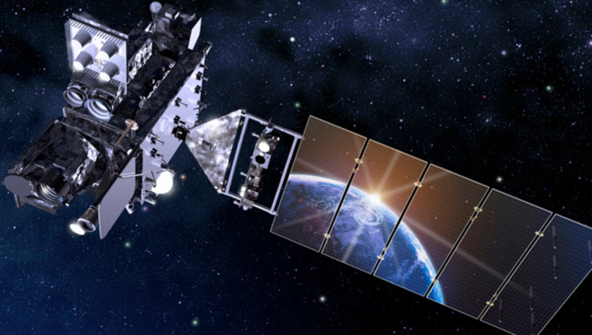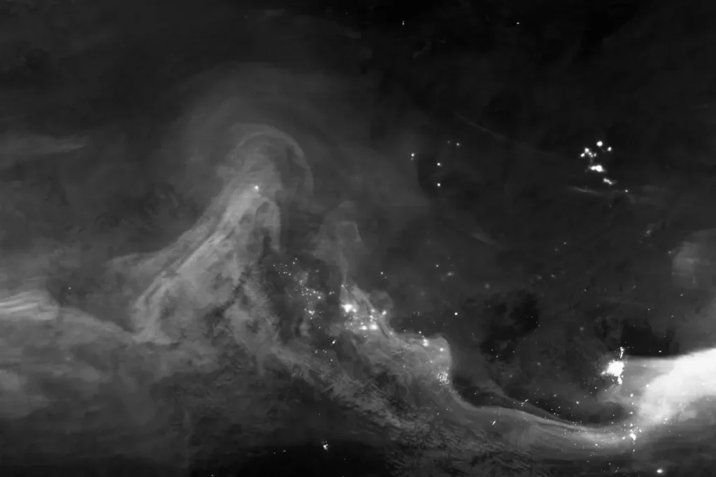
A recent NASA satellite photo taken over Canada provides a unique opportunity to look at the Aurora Borealis in infrared light. The image was acquired by the Visible Infrared Imaging Radiometer Suite (VIIRS) instrument aboard the NASA/NOAA National Polar Orbiting Partnership satellite.
The VIIRS instrument, sensitive to emission of faint light in a broad spectral range known as the day-night band (DNB), used reflected moonlight as well as ground and atmospheric sources to detect visible light at night.
The resulting grayscale image shows the visible light emitted by the aurora borealis passing through the Earth’s atmosphere.

How the aurora borealis “work”
Auroras are perturbations of the Earth’s magnetosphere caused by strong geomagnetic storms on the Sun. This fascinating phenomenon occurs when numerous coronal mass ejections from the Sun in the form of charged particles rush toward the Earth.
After colliding with our planet’s magnetosphere, some particles are trapped in the magnetic field, eventually accelerating in the upper atmosphere, where they excite nitrogen and oxygen molecules, releasing photons of light to form the aurora borealis.
Auroras usually appear as green streaks, but they can also appear in shades of red, blue, purple, pink, and white. These celestial phenomena are most commonly observed in the high-latitude regions around the Arctic, known as the northern lights or aurora borealis, and in the Antarctic, where they are called the southern lights or Aurora Borealis.
There will be more auroras
Scientists predict an increase in solar activity this year, which will lead to more frequent auroras for sky watchers. According to the National Oceanic and Atmospheric Administration (NOAA), the Sun is in its 25th solar cycle, a period of increased magnetic field activity that lasts approximately 11 years, and is expected to reach its solar maximum, or peak activity, from January to October 2024.

