The SWOT spacecraft has completed the first complete study of the planet’s water surface.
NASA scientists used SWOT data to create a map of water on Earth, which shows the different surface levels of the planet’s oceans, freshwater lakes and rivers. These data were collected during the spacecraft’s first full 21-day scientific mission from July 26 to August 16 this year, Space writes.
Scientists are already delighted with the data provided by the SWOT spacecraft, designed to study the water surface of our planet. According to the researchers, the new data is incredibly detailed.
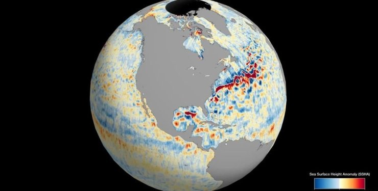
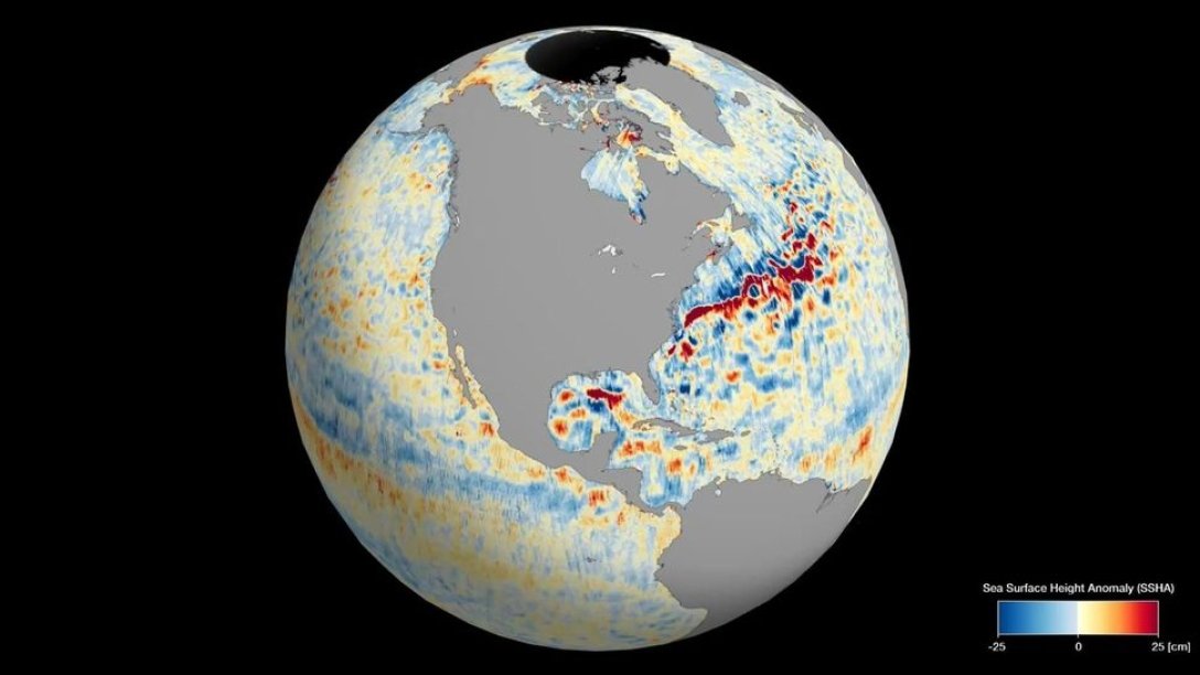
The animation shows different sea surface levels around the globe, including areas where water levels are higher than the global average sea surface elevation (red and orange) and areas where water levels are lower than the global average (blue). The data collected by SWOT offers one of the most detailed and complete views of water on the Earth’s surface, scientists say.
The new animation was created using data obtained by the KaRIn radar interferometer, which is equipped with the SWOT device. This device consists of two antennas located 10 meters apart. They collect data on the height of the sea surface by reflecting radar pulses from the water surface.
According to the scientists, the difference in global ocean level can show ocean currents, such as the Gulf Stream, which runs off the east coast of the United States, or the Kuroshio Current off the east coast of Japan. Ocean surface elevation can also show regions with relatively warmer water because water expands as it heats up.

Photo: NASA
In a statement, NASA said the data will contribute to research on the effects of climate change and help better prepare for global warming.
The SWOT spacecraft was launched on December 16, 2022 aboard a Falcon 9 rocket from SpaceX. This spacecraft is the product of a joint collaboration between NASA and the French Space Agency.
This is how the SWOT apparatus was prepared for work
The spacecraft’s mission is ongoing, and it will continue to measure the water level on 90% of the Earth’s surface every 21 days at an altitude of 857 km above the Earth’s surface. In this way, scientists will receive new information about changes in global water levels on Earth.

