It was first seen and mapped by Captain James Cook. 100 years later, the whaling ship Velocity also reported the discovery of Sandy Island, which was marked on British and German maps of the 19th century. However, later people began to doubt its existence.
The mysterious Sandy Island has appeared on maps for hundreds of years, but it is no longer in modern records. This was reported by the Daily Express.
There are little-known and unexplored islands scattered around the world, many of which are hundreds and sometimes thousands of kilometers from the nearest land. However, there is also a piece of land in the middle of the ocean that attracts more interest than the others, often referred to as a “phantom island.”
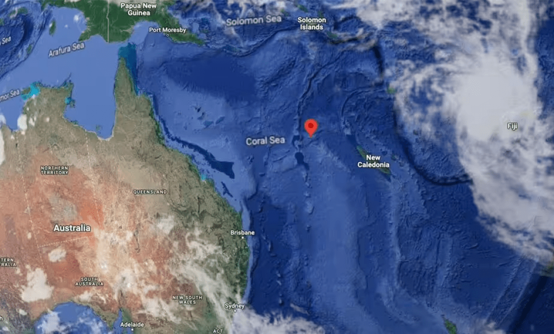
Sandy Island used to be located between Australia and New Caledonia (French territory), but today, after researchers have been trying to find its geographical location for centuries but have failed, it seems fictional.
The history of this piece of land began on September 15, 1774, when Captain James Cook mapped the island of Sandy I, located off the northeast coast of Australia and in the eastern part of the Coral Sea. The sailor wrote about this in his 1776 “Map of Discoveries Made in the South Pacific”.
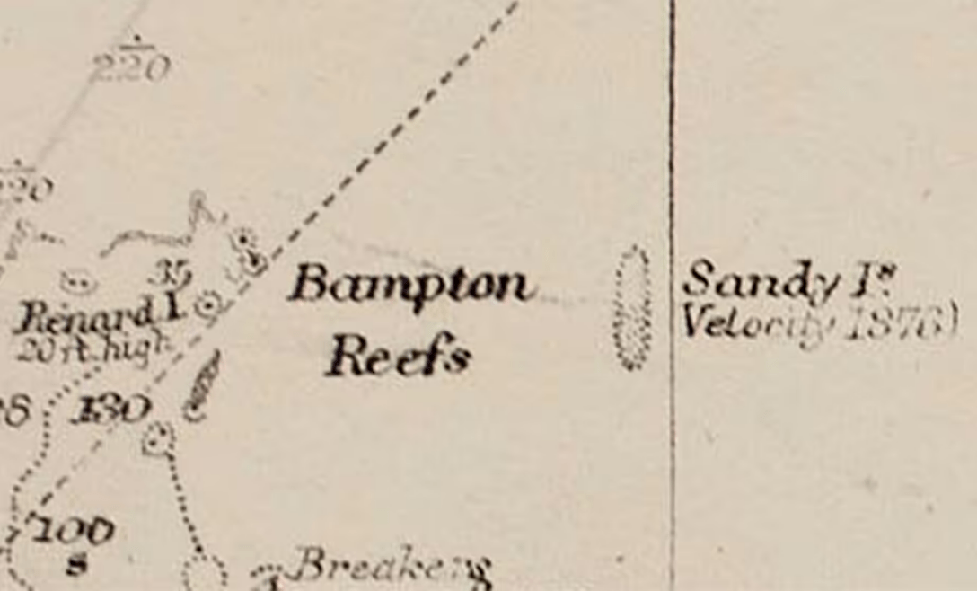
Historians estimate that the island was about 15 miles long and just over 3 miles wide, which is quite hard to miss given its size. In 1876, exactly 100 years after the publication of the collection, the whaling ship Velocity also reported the discovery of Sandy Island, which was marked on British and German maps of the nineteenth century.
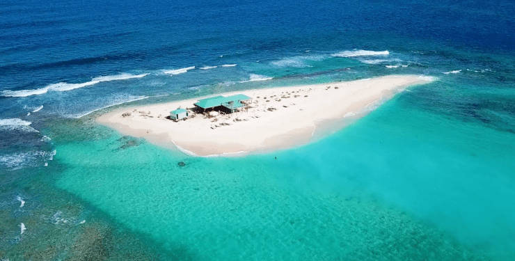
Island in the ocean, island, small island, mysterious island, missing island, Sandy Island, non-existent island, island on the map
The whaling ship Velocity also reported the discovery of Sandy Island, which was marked on British and German maps of the 19th century

Photo: R.C. Carrington, of the Hydrographic Office
However, soon some maps began to use ED – “doubtful existence” – after several voyages failed to find the island where it was supposed to be. In 1979, the French Hydrographic Service completely excluded the island from its nautical charts, but a few decades later, Sandy Island began to appear on digital maps again.
On November 22, 2012, Australian scientists on the Southern Surveyor went in search of the island, but, as in previous times, they failed to find any significant land area. They recorded the exact depth of the ocean at a coordinate point that was less than 4,300 feet, which means that there is virtually no chance that land could be hidden under the waves.

Photo: Google Maps
Although Google Maps has removed the island from its service, its vague outline can still be found by searching at these exact coordinates: 19.22°N 159.93° E.
The publication notes that there is no specific explanation for why various researchers have reported seeing Sandy Island over the years, but many believe that it could be the floating remains of a volcanic eruption that slowly moved through the Pacific Ocean before completely dissolving into the sea.

