

Kakhovka Reservoir is filling up with water again: satellite images
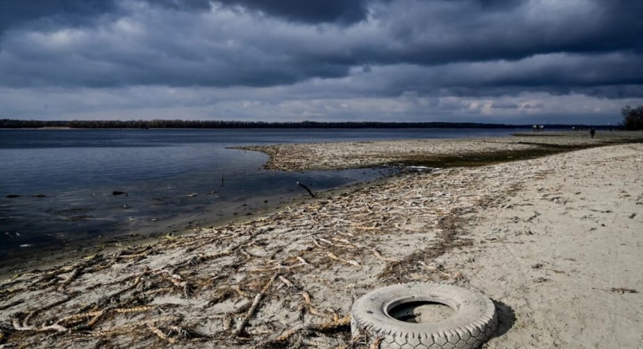
Water has started to flow into the Kakhovka reservoir again. According to recent satellite images of the area, a large part of the previously drained area of the former reservoir is now covered with water. The explanation here is very simple: spring snowmelt brought additional moisture to the lower reaches of the Dnipro.
“Here we can clearly see the water level rising, which corresponds to the situation of spring floods on the river floodplain,” says Hryhoriy Kolomytsev, an expert of the Ukrainian Nature Protection Group and junior researcher at the Schmalhausen Institute of Zoology of the National Academy of Sciences of Ukraine.
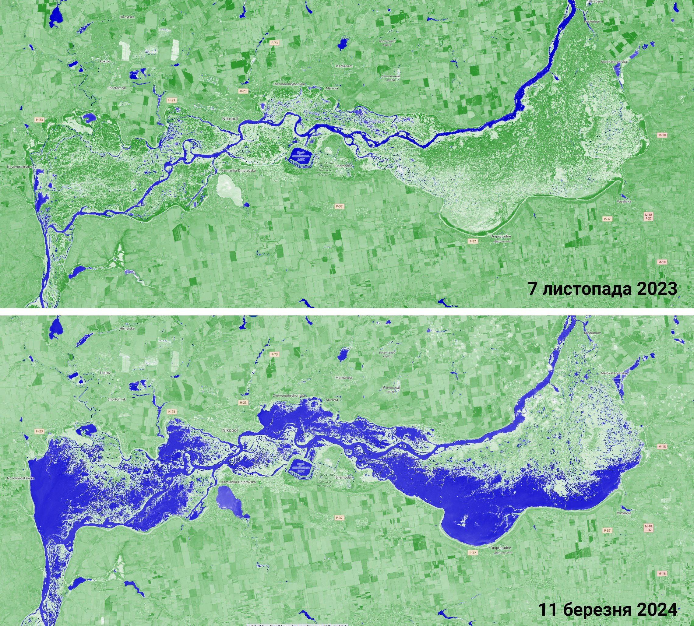
“In the absence of artificial regulation of water levels, today we can observe the same processes on the territory of the former Kakhovka reservoir as on natural, unregulated river floodplains. Spring floods have been occurring on these lands for thousands of years before the construction of the hydroelectric power plant,” Kolomytsev added.